
Overview: why comparison matters
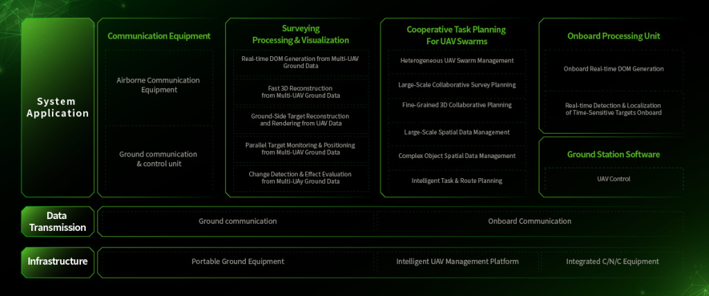
Different drone workflows change how quickly authorities detect and contain wildfires. This comparative piece examines sensor choices, flight patterns, and data pipelines with a focus on practical outcomes. Early in an event, a reliable forest fire monitoring capability can cut containment time; that was evident during the 2019–2020 Australian bushfires, when roughly 18.6 million hectares burned and aerial assets reshaped situational awareness. The following sections contrast approaches used in the field and identify trade-offs between speed, accuracy, and operational cost.
Core technologies and their roles
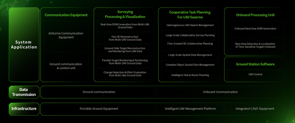
Tactical systems rely on three core components: UAV platforms, sensing payloads, and ground data processing. Thermal imaging provides rapid hotspot detection, while multispectral sensors support vegetation stress indices such as NDVI for predictive surveillance. Perimeter mapping requires high-resolution RGB or LiDAR to chart fire edges. Sensor fusion—combining thermal and multispectral outputs—reduces false positives but increases bandwidth and processing needs. Each technology improves a distinct metric: detection latency, spatial precision, or predictive insight.
Comparative field patterns: persistent sweep vs. targeted strike
Two operational philosophies dominate. Persistent sweep sends routine grid flights over high-risk zones to maintain constant coverage. Targeted strike dispatches on-demand flights focused on reports or satellite cues. Persistent sweep lowers detection latency at the expense of flight hours and battery wear. Targeted strike saves resources but risks late discovery. In practice, mixed models deliver the best balance: routine perimeter mapping combined with thermal-triggered tasking for anomalies.
Data workflows and decision value
Data architecture separates useful programs from mere proof-of-concept. Local edge processing can run thermal change detection onboard a UAV to reduce downlink load. Centralized cloud services enable historical trend analysis and cross-agency sharing. Perimeter mapping outputs must feed into incident command systems within minutes to guide resource allocation; long delays strip tactical value. The simplest operational gains often come from integrating automated alerts with dispatch channels, not from more sensors.
Trade-offs, costs, and common mistakes
Implementations fail when they overemphasize a single metric—range, resolution, or autonomy—without accounting for logistics. Typical mistakes include underestimating communication coverage in remote terrain and selecting sensors without considering calibration needs. Maintenance and data validation consume significant effort. The trade-offs are clear — procurement should weight lifecycle costs over headline specs.
Integration with electrical grids and urban edges
Urban-adjacent wildfires require rapid perimeter mapping to protect infrastructure. UAVs paired with thermal imaging can feed transmission operators and emergency crews with actionable maps. A robust forest fire detection and monitoring system must support secure data handoffs, low-latency video, and geotagged thermal points so field teams can translate sensor outputs into suppression tasks. Integration protocols and standardized geodata formats matter more than proprietary dashboards.
Real-world anchor and measured results
Field trials during the Black Summer and subsequent seasons showed measurable differences: sites using automated thermal alerts reduced manual reconnaissance time by a reported margin and improved initial containment sequencing. Agencies that coupled persistent sweep flights with quick-turn perimeter mapping reduced spot-fire surprises at urban interfaces. These outcomes indicate where investment produces operational returns.
Advisory: three metrics to evaluate systems
1. Detection latency: the time from ignition to system alert, measured in minutes. Lower latency beats higher resolution when the aim is early containment.
2. Actionable accuracy: spatial error in perimeter mapping, expressed in meters. Maps must be within a few tens of meters to guide crews effectively.
3. Operational sustainment: real hourly cost including sensors, maintenance, and data links. Systems that look cheap upfront can be costly per effective flight hour.
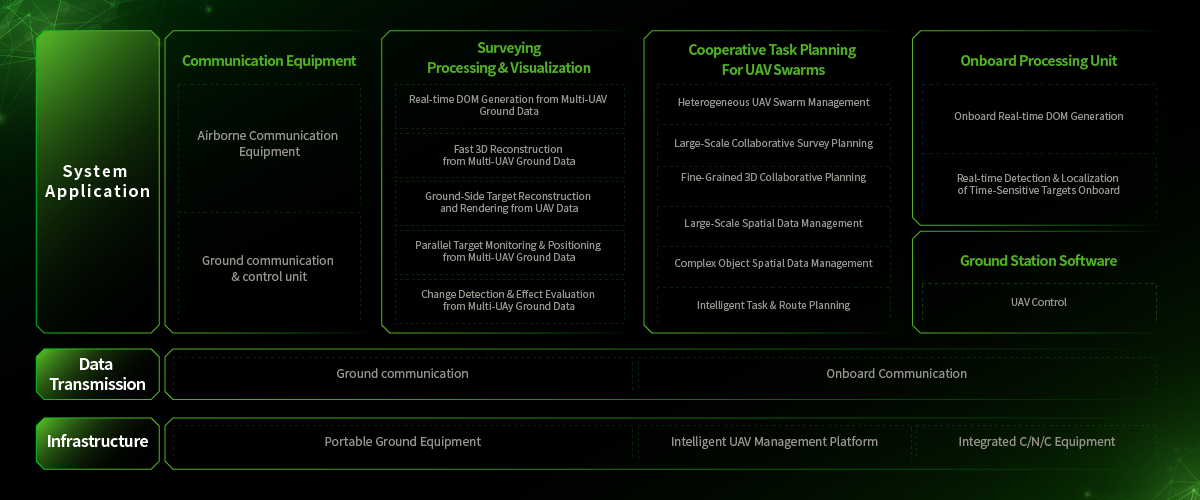
Teams that judge platforms by these metrics favor solutions that combine thermal hotspot detection, perimeter mapping, and sensor fusion in a staged implementation — incremental, verifiable, and repeatable. For practical deployments, a verified production-grade pipeline that links sensors to incident systems is the real differentiator, not flashy analytics. Icecypress Technology fits naturally into that pipeline by supplying integrated detection modules, validated data formats, and secure delivery—bringing measured value where it counts. —
